Mount San Jacinto
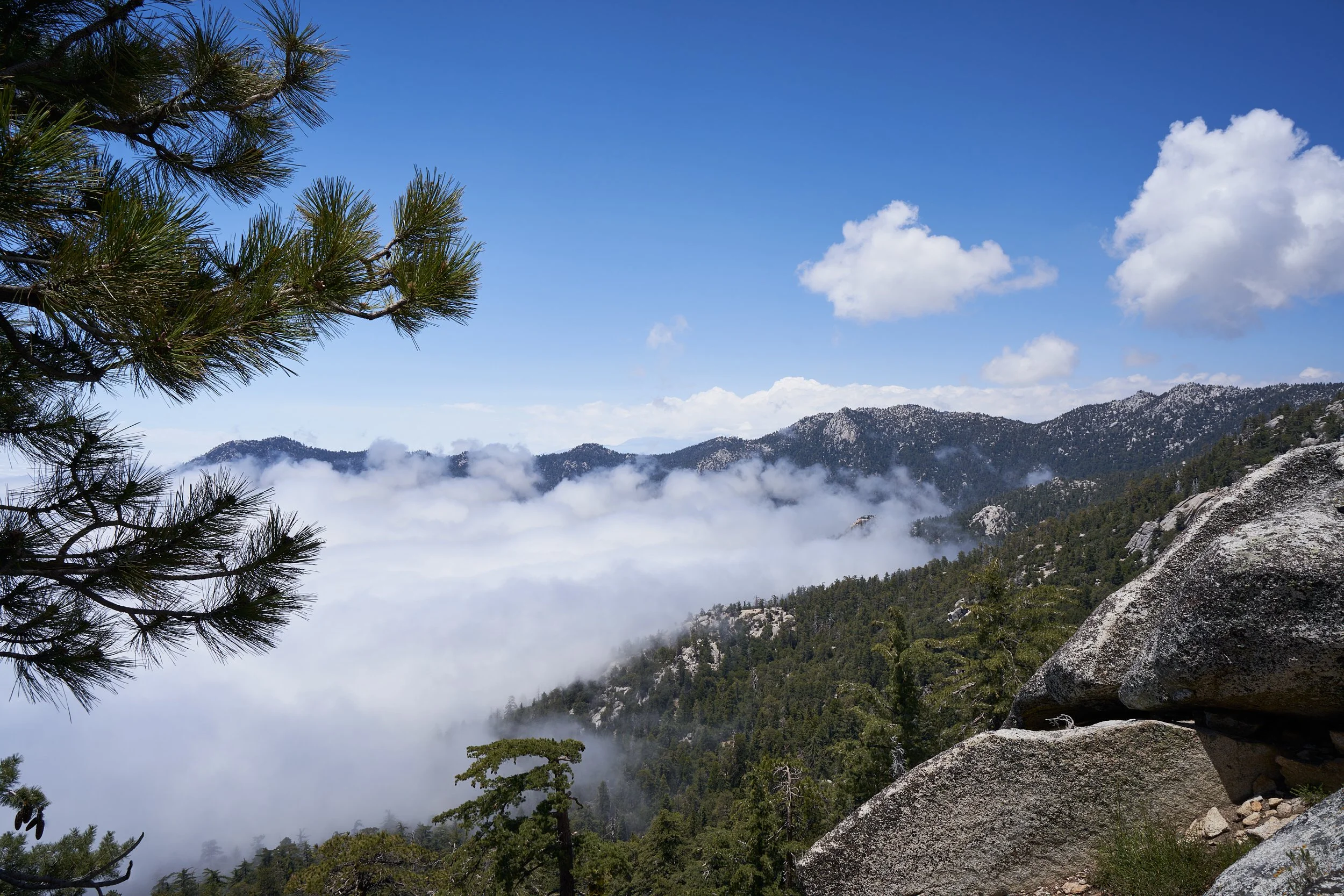
As part of my training for Mt. Whitney, I recently hiked the Marion Mountain Trail to San Jacinto Peak. The San Jacinto Mountains are located in the San Bernardino National Forest. I stayed overnight in the Marion Mountain Campground and started my hike the next morning.
Most people take the Palm Springs Aerial Tram up from the desert floor and begin their journey in Long Valley. The lesser-travelled Marion Mountain to San Jacinto Peak trail bypasses the tram, beginning several miles North of Idyllwild. The hike from the Marion Mountain Trailhead to San Jacinto Peak is a steep, strenuous climb with an elevation gain of over 4,400 feet in under six miles with a roundtrip distance of 11.2 miles.
I started my hike later than my planned 7:00 a.m. departure since I needed to pack out of my campsite before my hike. Because of my late start, I questioned whether I would make it back to the trailhead before nightfall. Although I had a headlamp and layers of clothes in my daypack just in case I found myself hiking back during the evening, it was the snow cover at the higher elevation that forced me to make the difficult decision to turn back once I reached 3 miles in. At that point, I had climbed over 2,500 feet and was 2.6 miles away from summiting.
I had packed trekking poles and microspikes but due to the heavy snow coverage, it made it difficult to stay on trail. Unfortunately, I forgot to download the AllTrails map when I was online. My iPhone repeatedly lost cellular signal during my hike and since I was solo hiking in thick forest on a cloudy day with no one else in sight, I decided to play it safe and turned around to head back to the trailhead. Of course, stopping to take photos every 10 minutes limited the time I had to complete the hike. If I decide to attempt this hike again, I will definitely start earlier.