
Mt. Whitney
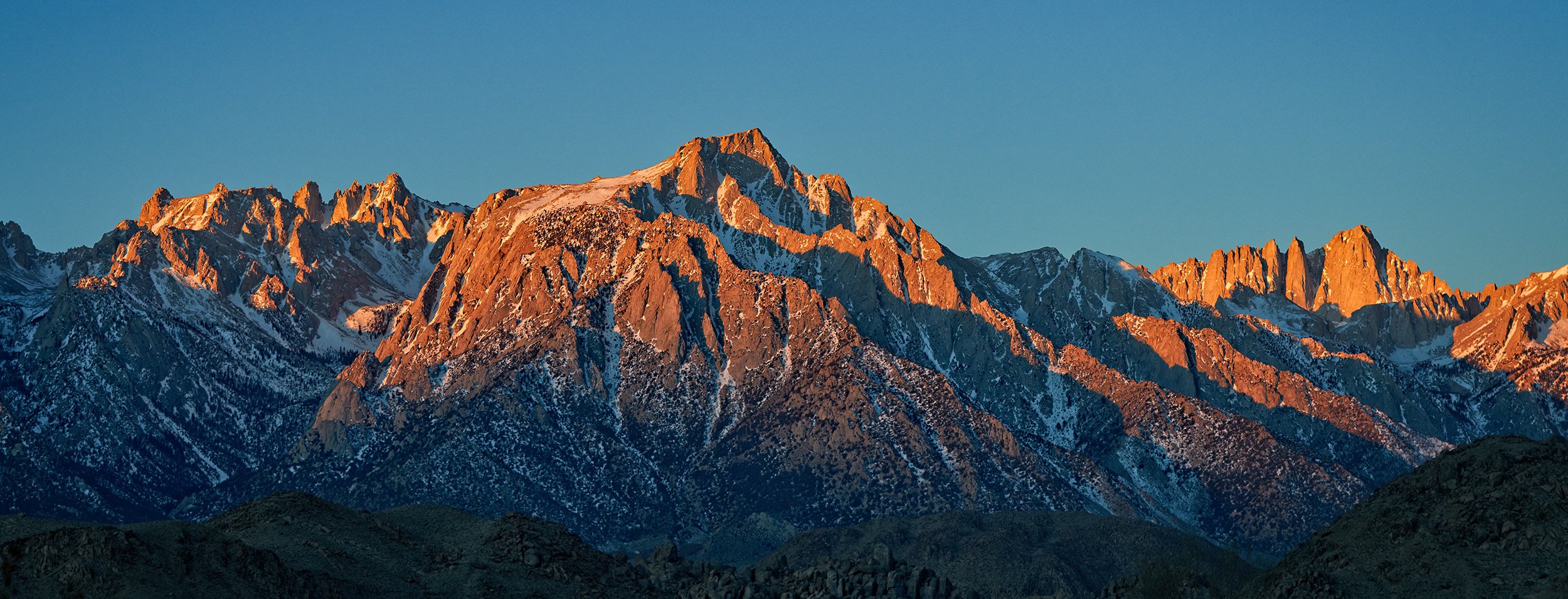
Panorama of Lone Pine Peak with Mt. Whitney off in the distance to the right.
Update: I hiked the Mt. Whitney trail on August 7th and 8th, 2023. On the first day, my neighbor and I hiked to Outpost Camp and camped overnight. The next day, we hiked up to Trail Camp. There was still a considerable amount of snow on the trail at the upper elevations due to significant snowfall this past Winter season. The snow/ice conditions were rapidly changing and while some hikers had helmets, ice axes and crampons, others did not. Some hikers reported the Switchbacks and cable section were starting to clear meaning you didn’t need to climb up the slope on climber’s right anymore.
Based on the uncertainty of trail conditions for our ascent up to Trail Crest, we decided not to summit and fell short of our goal by 4.2 miles and 2,435 feet. It was a difficult decision but one we felt comfortable with. Making it up to Trail Camp was an accomplishment by itself.
After taking some photos at Trail Camp and replenishing our bodies with food and water, we turned around to return to Outpost Camp to pack up our gear and head back down to the trailhead. Although I didn’t summit, it was still quite the adventure and gave me a good idea of what to expect if I decide to make another attempt in the future.


Red: Hike from trailhead to Outpost Camp on day one (3.8 miles, 2,100 feet). Blue: Hike from Outpost Camp to Trail Camp on day two (2.2 miles, 1,600 feet).
Lottery
Since I didn’t get a permit through the lottery when it first started on February 1st, I had to check back on April 22nd at 7:00 a.m. PST when unclaimed permits were released. I was starting to lose hope at first since the slots I was trying to register for seemed to have been snagged up by people who were apparently faster at clicking on the register button than I was. There are only 60 overnight permits issued per day vs. 100 day-use permits so the fact I was trying to register for an overnight hike didn’t help my chances. I also discovered that trying to register a group of four or more didn’t help my chances either. I decided to change the number of group members to two to see if it would make a difference. After cycling through different dates multiple times, I was lucky enough to click on a date that allowed me to complete my registration for a permit.
Interest
I first got the idea to hike the highest peak in the contiguous United States when I photographed a panorama of Lone Pine Peak and Mt. Whitney on the drive up to Mammoth Lakes during a winter season. Mt. Whitney is known as a fourteener (14er), a mountain peak with an elevation of at least 14,000 feet. After doing some research, I discovered summiting the peak of Mt. Whitney is achievable by anyone in moderate physical shape. Of course, there are other factors that could intensify the difficulty of the hike including the chosen route and weather conditions.
In addition to enjoying the outdoors and hiking, I always had a fascination with mountaineering and the people who live for the sport. I thought, wouldn’t it be cool to experience the challenge of hiking a mountain of this magnitude? At the same time, I was hesitant to take on such a challenge knowing the associated risks including Acute Mountain Sickness (High-Altitude Illness).
I figured if I take the time to properly plan and train, I could at least make an attempt and hope to check this goal off my bucket list.
Research
The roundtrip hike to the summit starting from the Whitney Portal trailhead is approximately 21 miles which can take up to 15 hours if attempting to do the hike in one day, requiring you to start your hike well before sunrise and finish in the evening. Since I expect to go at a slower pace to allow time to take photos along the way and enjoy the view from the summit, I have decided to take the recommendation of others to include an overnight stay in one of the base camps (Outpost Camp, Consultation Lake or Trail Camp).
Mt. Whitney Facts:
Distance: 20.4 miles roundtrip (Whitney Portal trailhead to summit and back)
Trailhead elevation: 8,370 feet
Mt. Whitney elevation: 14,505 feet
Total elevation gain: 6,135 feet
Helpful Resources:
Training
San Jacinto - Hiked just over three miles in and climbed 2,500 feet but failed to summit due to snow coverage at higher elevation. Watch the video.
Yosemite N.P. - Hiked over 19 miles and climbed over 4,900 feet. Camped two nights at Little Yosemite Valley campground. My 12-year old son joined me on this backpacking adventure. Watch the video.
Packing List
The goal is for my full pack to weigh around 33 lbs. Once I reach base camp, I plan to leave most of my gear there and bring only a day pack to the summit. To see my complete packing list including essential items, clothing, toiletries and food, providing the total weight I plan to carry to base camp, check out my Backpacking List.